MapCreator umožňuje vytvořit statické a animované mapy.
Contains over 350 modules to render maps and images on monitor and paper.
Convert raster image formats to DXF, HPGL, EMF, and WMF.
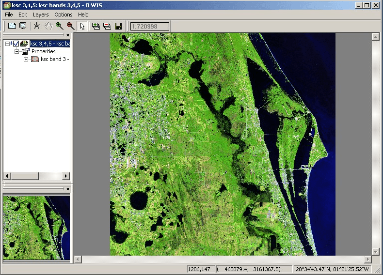
 Main window
  About Window
  Create Map Window
  Edit Options
  ILWIS Academic